Geospatial Science, Satellite Remote Sensing & Spatial Analysis
gsVista is a specialized geospatial innovation and analysis company. We help engineering firms, commercial agricultural operators, and public institutions evaluate spatial data, satellite radar and optical imagery, flood vulnerability, and environmental terrain conditions.
Satellite Remote Sensing
Acquisition and analysis of Sentinel-1 radar (SAR) and multispectral Sentinel-2 & Landsat optical imagery.
Coastal & Flood Studies
Terrain elevation assessment, catchment drainage modeling, and coastal vulnerability delineation in Lagos.
Agricultural NDVI Telemetry
Multispectral vegetation index computation to detect canopy vigor variations and support soil sampling.
GIS Data Handover
Industry-standard deliverables in Shapefile, GeoPackage, and GeoJSON formats ready for CAD or GIS software.
Interactive Spatial Analysis Viewer
Interact with our spatial study areas directly in your browser. Use the top control to switch between standard OpenStreetMap and high-resolution satellite imagery, or toggle custom project boundaries on and off using the layer panel.
No custom layers published.
Default projection: WGS84 (EPSG:4326). Additional custom layers (GeoJSON and Cloud-Optimized GeoTIFFs) can be uploaded and managed via the Admin Portal.
Request custom layers for your project →Comprehensive Geospatial Science & Analysis Services
From flood vulnerability modeling in coastal megacities to satellite NDVI crop intelligence and land use classification, we deliver sound, verifiable geospatial science to support your bids, studies, and operations.
Coastal Inundation & Catchment Flood Modeling
Evaluating low-lying terrain, historical flood extent, and natural surface runoff corridors to aid civil infrastructure planning and risk mitigation.
Multispectral Crop Health & NDVI Mapping
Time-series satellite monitoring measuring vegetative vigor (NDVI) across farmland to detect irrigation stress and localized growth anomalies.
Land Use / Land Cover (LULC) & Urban Sprawl Analysis
Multi-temporal satellite imagery classification comparing urban built-up expansion, wetland boundaries, and vegetation change over time.
Terrain Slope & Site Suitability Screening
GIS multi-criteria screening evaluating terrain slope, solar irradiation, and infrastructure buffer zones to identify feasible candidate parcels.
Satellite Imagery Acquisition & Pre-processing
Sourcing, atmospheric correction, orthorectification, and cloud-masking of optical and radar satellite imagery for custom Areas of Interest.
Spatial Database & WebGIS Integration
Structuring project geodatabases, producing Cloud-Optimized GeoTIFFs (COG), and integrating spatial layers into interactive map interfaces.
Case Studies & Past Spatial Analyses
Explore concrete examples of satellite imagery processing, terrain modeling, and spatial analyses completed by gsVista.

Lagos Coastal Inundation & Drainage Catchment Analysis
Integrated radar satellite imagery (Sentinel-1 SAR) with digital terrain data to identify natural drainage corridors and storm surge flood-prone areas across coastal Lagos.
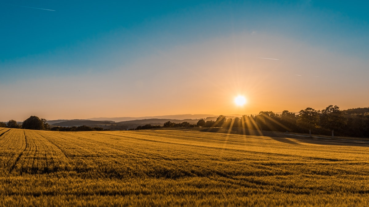
Multispectral Vegetation Index (NDVI) Crop Health Mapping
Time-series Sentinel-2 multispectral imagery analysis mapping vegetation vigor indices (NDVI) across farmland blocks to track crop development and localized growth anomalies.

Metropolitan Land Cover & Urban Expansion Mapping
Multi-temporal satellite imagery classification comparing urban built-up footprint and green space changes across the Greater Lagos metropolitan area over the past decade.

Regional Solar Farm Site Suitability & Terrain Screening
GIS multi-criteria terrain slope analysis and proximity screening to evaluate candidate parcels for utility-scale photovoltaic solar installation.
Transparent Scopes & Pricing Structures
We work with engineering contractors, agricultural firms, and research teams under clearly defined milestones, project scopes, or recurring monitoring retainers.
Targeted Spatial Assessment
Focused GIS analysis or remote sensing study for a defined project area.
- Defined Area of Interest (AOI) boundary
- Satellite imagery acquisition & pre-processing
- Specialized analysis (Flood risk, NDVI, LULC, or Slope)
- GIS Geodatabase delivery (Shapefile / GeoPackage / GeoJSON)
- Technical PDF assessment report with cartographic maps
- Technical handover consultation
Recurring Satellite Monitoring
Periodic satellite updates for agricultural plantations, construction corridors, or environmental sites.
- Scheduled satellite data acquisition (Sentinel / Planet)
- Time-series vegetation or surface change tracking
- Regular data digest and anomaly notifications
- Updated spatial layers ready for GIS integration
- Dedicated analyst support for queries and custom cutouts
Enterprise GIS & Data Pipelines
Custom spatial data infrastructure, web map portals, and technical advisory.
- Large-scale regional or multi-site mapping
- Custom WebGIS dashboards and interactive map viewers
- Cloud-optimized geospatial data pipelines (COG / GeoJSON)
- Workflow automation and team training
- Full data handover and ongoing technical advisory
Client & Collaborator Statements
What engineering partners and project leads note about gsVista deliverables.
“gsVista delivered clear drainage catchment mapping and low-lying flood zone delineations for our site assessment. The spatial data was well structured and directly compatible with our engineering CAD and GIS workflow.”
Engr. Babatunde Adeleke
Project Lead
Prime Atlantic Engineering
“The NDVI vegetation index maps provided reliable visibility into crop health variability across our trial farms. gsVista was prompt, technically sound, and communicative throughout the project.”
Dr. Miriam O. Nwosu
Agricultural Consultant
West African Agriscience Network
A Geospatial Innovation, Science & Analysis Company
Headquartered in Lagos, Nigeria, gsVista was established to bridge the gap between complex Earth observation datasets and actionable commercial decision-making. We transform raw satellite archives, radar observations, and digital elevation models into clear, structured GIS deliverables.
Whether conducting flood vulnerability modeling for coastal civil engineering, tracking vegetative stress across commercial agro-plantations, or screening candidate land parcels for solar farm installation, our emphasis is on scientific rigor, transparent methodology, and verifiable accuracy.
gsVista Operations
Get in Touch with the gsVista Team
Whether you need satellite imagery pre-processing, a coastal flood hazard assessment, or precision crop health telemetry, we are available to review your Area of Interest (AOI) coordinates and discuss your technical specifications.